Moderate to heavy rainshowers with lightning and strong winds are expected over Zambales(Olongapo, Subic, San Antonio, San Narciso, San Felipe, Castillejos, San Marcelino), Metro Manila(Manila, Pasay, Paranaque, Caloocan, Malabon, Valenzuela, Navotas, Quezon City, San Juan, Mandaluyong, Makati, Las Pinas, Marikina), Bulacan(Obando, Malolos, Paombong, Hagonoy, Meycauayan, Marilao, San Jose del Monte, Bocaue, Balagtas, Bulakan, Guiguinto), Pampanga(Macabebe, Sasmuan, Lubao, Masantol, Floridablanca), Cavite(Tanza, Rosario, Noveleta, Kawit, Cavite City, Bacoor, Naic, Maragondon, Ternate, Imus, General Trias), Batangas(Nasugbu, Lian, Calatagan), Quezon(Mulanay, San Narciso, San Francisco, Catanauan, San Andres) and Rizal(Rodriguez, San Mateo) within the next 2 hours.
The above conditions are being experienced in Bataan(Bagac, Orion, Limay, Mariveles, Morong, Pilar, Balanga) which may persist within 2 hours and may affect nearby areas.
Published by: NCRPRSDValid until: Jun 26, 2026 12:45 AM
Affected Areas: Bataan, Zambales, Metro Manila, Bulacan, Pampanga + 4 more
THUNDERSTORM
Thunderstorm Advisory No. 24 #VISPRSD
Issued at 10:28 PM 25 June 2026
Moderate to Heavy rainshowers with lightning and strong winds are expected over #Palawan(Aborlan, Quezon, Roxas, ElNido, Linapacan and Busuanga) within the next 30 minutes to an hour.
The above conditions are being experienced in #Palawan(PuertoPrincesaCity, Dumaran and Araceli) which may persist within 1 to 2 hours and may affect nearby areas.
Published by: VISPRSDValid until: Jun 26, 2026 12:28 AM
Affected Areas: Palawan
THUNDERSTORM
Thunderstorm Watch #SLPRSD
Issued at 10:00 PM 25 June 2026
Thunderstorm is MORE LIKELY to develop over #BicolRegion within 12 hours.
Published by: SLPRSDValid until: Jun 26, 2026 10:00 AM
Thunderstorm Watch #NLPRSD
Issued at 10:00 PM 25 June 2026
Thunderstorm is MORE LIKELY to develop over #IlocosNorte within 12 hours.
Published by: NLPRSDValid until: Jun 26, 2026 10:00 AM
Affected Areas: Ilocos Norte
THUNDERSTORM
Thunderstorm Watch #VISPRSD
Issued at 10:00 PM 25 June 2026
Thunderstorm is MORE LIKELY to develop over #Palawan, #OccidentalMindoro, #Antique, #Aklan, #Capiz, #Iloilo, #Guimaras, #Cebu, #Bohol, #Siquijor, #NegrosOriental, #NegrosOccidental, #Leyte, #SouthernLeyte, #Biliran, #EasternSamar and #Samar within 12 hours.
Published by: VISPRSDValid until: Jun 26, 2026 10:00 AM
Thunderstorm Advisory No. 6 #MINPRSD
Issued at 10:00 PM 25 June 2026
Moderate to occasionally heavy rainshowers with lightning and strong winds are expected over #NorthCotabato(Arakan, PresidentRoxas, Carmen, Antipas, Magpet, Matalam, Kabacan), #DavaoDeOro(Laak), #MisamisOriental(Laguindingan, Gitagum, Libertad, Initao, Naawan, Manticao, Lugait, Alubijid, CagayanDeOroCity, Opol, CityOfElSalvador, Jasaan, Villanueva, Tagoloan, Balingasag), #MisamisOccidental(Aloran, OroquietaCity, Panaon, Jimenez, Sinacaban, Tudela, Clarin, OzamisCity, TangubCity) and #AgusanDelSur(Veruela) within the next 1-2 hours.
The above conditions are being experienced in #DavaoCity, #DavaoDelNorte, #Bukidnon, #AgusanDelSur(Loreto, LaPaz, SanLuis, Esperanza), #AgusanDelNorte(LasNieves) and #MisamisOriental(Claveria) which may persist within 1-2 hours and may affect nearby areas.
Published by: MINPRSDValid until: Jun 26, 2026 12:00 AM
Affected Areas: Davao City, Davao del Norte, Bukidnon, North Cotabato, Davao de Oro + 4 more
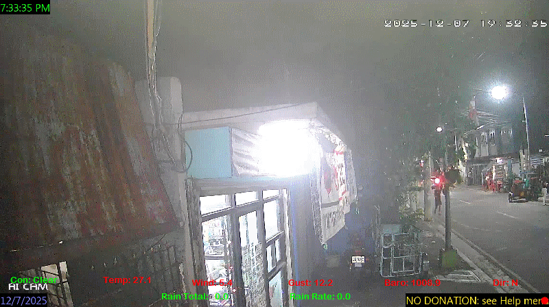
 Pimoh Daimaoh's Personal Weather and Earthquake Monitoring in Caloocan City Philippines
27°C
Baltazar st. Barangay #60 West Gracepark. Caloocan City
Pimoh Daimaoh's Personal Weather and Earthquake Monitoring in Caloocan City Philippines
27°C
Baltazar st. Barangay #60 West Gracepark. Caloocan City 


 rain
rain rain
rain rain
rain


