Rainfall Advisory No. 17 #NLPRSD
Weather System: Southwest Monsoon (Habagat)
Issued at 08:00 PM 25 June 2026
Light to Moderate to at times Heavy rains are expected over #Batanes within the next 2 to 3 hours.
The public and the Disaster Risk Reduction and Management Offices concerned are advised to MONITOR the weather condition and watch for the next warning to be issued at 11:00 PM Today.
All are advised to take precautionary measures against the impacts associated with these hazards. Residents along mountain slope are advised for possible landslides, mudslides, rockslides and flash flood.
Published by: NLPRSDValid until: Jun 25, 2026 10:00 PM
Affected Areas: Batanes, Batanes, Batanes, Batanes, Batanes + 1 more
Moderate to heavy rainshowers with lightning and strong winds are expected over Bataan and Zambales(Subic, San Antonio, Castillejos, Olongapo, San Narciso, San Felipe, San Marcelino) within the next 2 hours.
The above conditions are being experienced in Quezon(Catanauan, Mulanay) which may persist within 2 hours and may affect nearby areas.
Published by: NCRPRSDValid until: Jun 25, 2026 09:47 PM
Affected Areas: Quezon, Zambales, Bataan
THUNDERSTORM
Thunderstorm Advisory No. 21 #VISPRSD
Issued at 07:33 PM 25 June 2026
Moderate to Heavy rainshowers with lightning and strong winds are being experienced in #Bohol(Getafe, Talibon and BienUnido) which may persist within 1 to 2 hours and may affect nearby areas.
Published by: VISPRSDValid until: Jun 25, 2026 09:33 PM
Affected Areas: Bohol
THUNDERSTORM
Thunderstorm Advisory No. 20 #VISPRSD
Issued at 07:13 PM 25 June 2026
Moderate to Heavy rainshowers with lightning and strong winds are expected over #Cebu(Poro, Tudela, Tabogon and CityOfBogo) within the next 30 minutes to an hour.
The above conditions are being experienced in #Cebu(SanFrancisco, SanRemigio, Medellin and Daanbantayan) which may persist within 1 to 2 hours and may affect nearby areas.
Published by: VISPRSDValid until: Jun 25, 2026 09:13 PM
Affected Areas: Cebu
METRIC |
IMPERIAL
Updated:
06/25/2026 @ 8:00pm
Temperature
Current Conditions
Forecast / Storm Prediction
Outside Temperature:
28.6°C
Heat Index:
35.9°C
Feels like:
36°C Warm
Indoor Temperature
90.3°C
Max Humidex:
43.2°C
Indoor Humidity: %
High Today 32.4°C
12:25 PM
Low Today 26.5°C
2:10 AM
Yest High 31.6°C
1:00 PM
Yest Low 26.3°C
10:02 AM
Sta* High 37.0°C 4/28/2026
Sta* Low 21.4°C 1/24/2026
Space Weather Status
X-Ray: C1.2 Max: C2.2 Geomagnetic Field: 2.67
Mostly cloudy ,
Mostly cloudy
Wind:
SSE
9.7 Gusting to: 12.2 km/h
Rain Total:
5.1 mm
Rain Rate:
Current CBI Fire Danger: -0.5 % of 100%
LA NINA / EL NINO
Thursday rain Rain, Partially cloudy with 32°C 27°C
Friday rain Partially cloudy with 32°C 27°C
Saturday rain Overcast with 31°C 27°C
07W
FRANCISCO
STS
93 kph
INSIDE PAR
08W
HIGOS
TS
83 kph
OUTSIDE PAR
95W
INVEST
LPA
28 kph
OUTSIDE PAR
VOLCANO THERMAL ALERT STATUS
TAAL
MAYON
PINATUBO
Dew Point
Liquid Precipitation
Wind Speed
Sun/Moon
Current:
27.0°C
Last Hour:
0.1°C
High 9:07 AM:
29.1°C
Low 2:25 PM:
25.8°C
Record High:
31.0°C on
May-26-2026
Record Low:
16.2°C on
Mar-14-2026
Wetbulb:
27.4°C
Today:
5.10 mm
Yesterday:
9.30 mm
Last 7 Days:
67.20 mm
Jun Rain:
274.80 mm
Jun to Date Avg:10
0.00 mm
Jun to Date Diff from Avg:10
274.80 mm
Jun Avg:
296.10 mm
Diff from Avg:
21.30 mm
Season:1
441.3 mm
YTD Avg:11
366.30 mm
YTD Diff from Avg:11
75.00 mm
Last Rain Time/Date:
Jun-25-2026
at 9:14 AM
45 rain days in 2026
15 days in June
0 days since last rain
Current:
SSE
9.7 km/h
Highest Speed:
55.5 km/h
1Hr Average:
8.6 km/h
Wind Run:
267.48 km
Wind Gust
Current:
12.2 km/h
Today:
100.8 km/h 1:56 PM
Month:
100.8 km/h
Jun-25
Year:
116.9 km/h
May-29
Record Gust:
116.9 km/h
May-29-2026
Sunlight:
12 hrs 59 min 36 sec of Sunlight Today Which is 3 sec Shorter Than Yesterday (Noon)
 Pimoh Daimaoh's Personal Weather and Earthquake Monitoring in Caloocan City Philippines
29°C
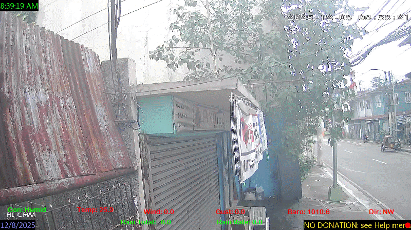
Baltazar st. Barangay #60 West Gracepark. Caloocan City
Pimoh Daimaoh's Personal Weather and Earthquake Monitoring in Caloocan City Philippines
29°C
Baltazar st. Barangay #60 West Gracepark. Caloocan City 


 rain
rain rain
rain rain
rain


